|
|

Click image to enlarge
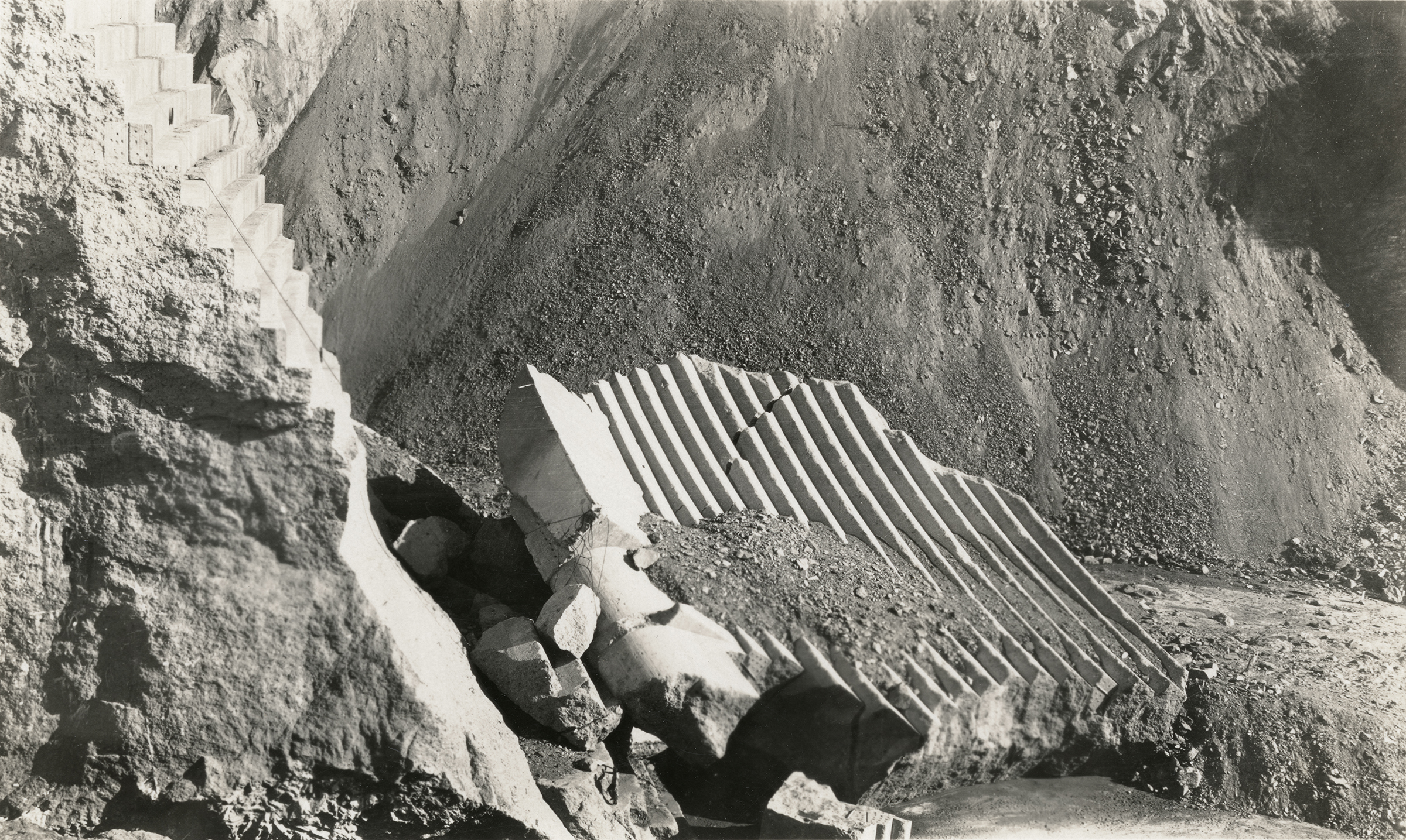
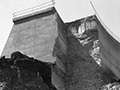
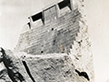
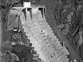
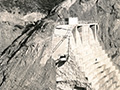
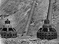
The section of the face of the St. Francis Dam known as Block 5 lies at the foot of the "tombstone" (the center section of the dam that remained standing). Original 5¼x3-inch glossy 1928 photo (photographer unknown). Looking east, the slippery Pelona schist is visible in the background, and a pile of schist can be seen on top of Block 5. Note the crack along the block, which they have patched (sort of) with oakum. A soluble fiber, oakum was typically used to plug leaks — all dams leak — but it's supposed to be used on the inside of the dam so the water can push against it and create a seal. Here, they've used it on the outside of the outward-curving dam. What do you suppose happens when water pushes on it from behind? Compare to this photo.
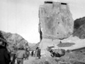
Construction on the 600-foot-long, 185-foot-high St. Francis Dam started in August 1924. With a 12.5-billion-gallon capacity, the reservoir began to fill with water on March 1, 1926. It was completed two months later. At 11:57:30 p.m. on March 12, 1928, the dam failed, sending a 180-foot-high wall of water crashing down San Francisquito Canyon. An estimated 411 people lay dead by the time the floodwaters reached the Pacific Ocean south of Ventura 5½ hours later. It was the second-worst disaster in California history, after the great San Francisco earthquake and fire of 1906, in terms of lives lost — and America's worst civil engineering failure of the 20th Century.
DI2818: 9600 dpi jpeg from original photograph, Sharon Divis Collection. Print on file.
|
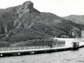
Dam & Reservoir
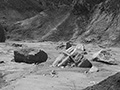
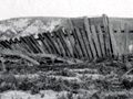
Floodpath, Rubble
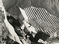
Block 5
West Abutment
Empty Reservoir
Tombstone
Tombstone with Ladder x2
Climbing Tombstone
Visiting Tombstone
Picnic at Dam Site
Dam Rubble x2
Tombstone & Perimeter Road
Upended SPRR Track
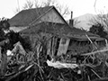
Wrecked Farmhouse
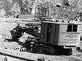
PH-2 Reconstruction
PH-2 Reconstruction
PH-2 Reconstruction
|
The site owner makes no assertions as to ownership of any original copyrights to digitized images. However, these images are intended for Personal or Research use only. Any other kind of use, including but not limited to commercial or scholarly publication in any medium or format, public exhibition, or use online or in a web site, may be subject to additional restrictions including but not limited to the copyrights held by parties other than the site owner. USERS ARE SOLELY RESPONSIBLE for determining the existence of such rights and for obtaining any permissions and/or paying associated fees necessary for the proposed use.
